© 2026 Bootcamp GIS
Built with Teachable
  • Terms of Use
  • Privacy Policy

Browse products

Browse products

Product filters:
search

Categories

Bootcamp GIS logo
  • Browse products
  • Home
  • How it Works
  • Our Team
  • All Courses
  • Log in
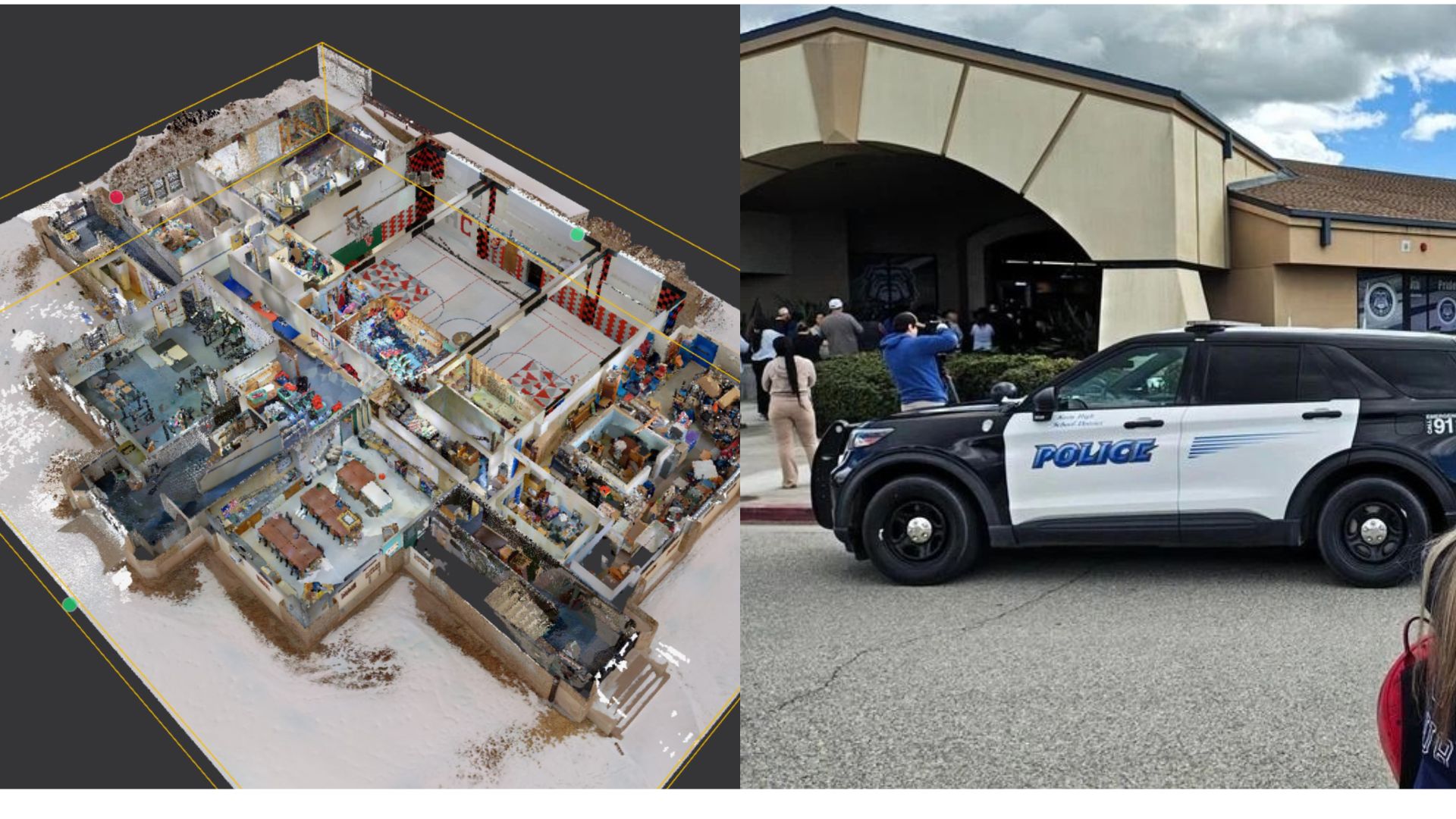
Product image for LiDAR to Digital Twin: Improving School Safety and Operations

LiDAR to Digital Twin: Improving School Safety and Operations

This course focuses on transforming mobile LiDAR scans of indoor and architectural environments into structured, analysis-ready spatial datasets. Using data captured with handheld LiDAR scanners, students learn how to prepare, clean, transform, and derive surfaces and features from dense point clouds representing real buildings.

Course•By Matthew Cartlidge
Learn more
1 product found
Bootcamp GIS logo

Main menu

Includes navigation links and user settings