Leveraging UAV (drones) data for environmental projects
Remotely sensed data has a new acquisition source.
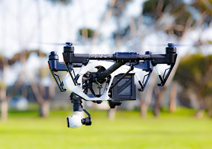
Do you want to learn how the exploding field of UAVs is impacting GIS? It is projected that the UAV industry will sell over 800,000 commercial drones by 2021 with a 51% growth rate in sales over 5 years. Unmanned aerial vehicles (UAVs) are quickly becoming the most popular data capture vehicle. In this course, you will learn how drone projects are planned, the specifications on aerial imagery and video, and how to process data for display in a GIS. This is a marketable skill that also may be the inspiration for developing your own startup application.
Portfolio skills:
- UAV licensing requirements
- Flight plans
- Camera specifications
- Geocoding imagery and video
- Serving drone data through a map service
- Intelligence extraction
Course Format:
24 hours of online instructional time. All software included in our development sandbox.
- Option 1: Knowledge builder self paced video COMING SOON
- Option 2: Professional builder video and instructor led interactions. Eligible to earn Enterprise GIS Certificate
Your Instructor

Frequently Asked Questions
Pricing
BGIS 608a
Knowledge Builder
$397
Online anytime
- Professional network access
- Development sandbox
- GeoExpert webinars
BGIS 608b
Professional Builder
$697
Live SME Advice
- Professional network access
- Development sandbox
- GeoExpert webinars
Plus these exclusive features:
- Enterprise Certificate Course
- Live instructor interaction
- Multimedia portfolio creation
- One-on-one coaching
- Invite to LinkedIn group
- Connections to our partners
- Match with a recruiter
BGIS 608c
Certificate Builder
$997
Earn Certificate
- Professional network access
- Development sandbox
- GeoExpert webinars
Plus these exclusive features:
- Enterprise Certificate Course
- Live instructor interaction
- Multimedia portfolio creation
- One-on-one coaching
- Invite to LinkedIn group
- Connections to our partners
- Match with a recruiter
Plus CEU credits
- Enterprise GIS college certificate
- 2.4 continuing-ed units
619-640-2330
COMING SOON
(Inquire about waiting list)