Use ArcGIS Pro to support BLM's management decisions
It's time to learn ArcGIS Pro in the real context of natural resources management.
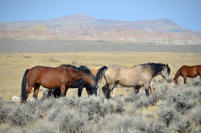
It's time to learn ArcGIS Pro. But don't learn the software with contrived exercises. Learn it in the real context of natural resources management The largest landowner in the US is the Bureau of Land Management, which manages almost 250 million acres. With this responsibility, the majority of job descriptions employed in the agency require GIS. This course allows you to learn ArcGIS Pro in the context of BLM workflows by teaching you what goes on in the day to day production and analysis of a BLM GIS Analyst. Each exercise is focused on a real GIS product or decision that is made within the agency. It includes data management, data editing, cartography, analysis, statistics, and web GIS. Students will use ArcGIS Pro and ArcGIS Online as the toolsets while learning about the structure of the agency and its decisions.
Portfolio skills:
-
ArcGIS Pro
- ArcGIS Online
- Data management
- Geoprocessing
- Spatial modeling
- Natural resources management
- Advanced cartography
Course Format:
24 hours of online instructional time (including videos and exercises). All software included in our development sandbox.
- Option 1: Knowledge builder self paced video
- Option 2: Professional builder video and instructor led interactions. Eligible to earn Enterprise GIS Certificate
Agenda:
Lesson 1: Learn how the BLM is structured in its decision management
Lesson 2: Learn about some of the key programs requiring GIS analysis
Lesson 3: Create a data management strategy for a field office
Lesson 4: Define the GIS user roles for an office
Lesson 5: Design a data workflow from field to web
Lesson 6: Produce a map and statistics for a Resource Management Plan
Lesson 7: Produce a map and statistics for a BAER Team
Lesson 8: Perform data editing for allotments
Lesson 9: Produce analysis for an Environmental Impact Statement
Lesson 10: Produce a map and statistics for an Oil and Gas Report
Lesson 11: Post a BLM map to the public
Your Instructor

Andres has 22 years experience as a GIS consultant to the BLM. He has taught analysts at every State Office and over 50 Field Offices on how to use GIS within their program missiions. He has run major BLM projects in Montana, New Mexico, Wyoming, Arizona, and Washington DC.
Frequently Asked Questions
Pricing
BGIS 614a
Knowledge Builder
$397
Online anytime
- Professional network access
- Development sandbox
- GeoExpert webinars
BGIS 614b
Professional Builder
$697
Live SME Advice
- Professional network access
- Development sandbox
- GeoExpert webinars
Plus these exclusive features:
- Enterprise Certificate Course
- Live instructor interaction
- Multimedia portfolio creation
- One-on-one coaching
- Invite to LinkedIn group
- Connections to our partners
- Match with a recruiter
BGIS 614c
Certificate Builder
$997
Earn Certificate
- Professional network access
- Development sandbox
- GeoExpert webinars
Plus these exclusive features:
- Enterprise Certificate Course
- Live instructor interaction
- Multimedia portfolio creation
- One-on-one coaching
- Invite to LinkedIn group
- Connections to our partners
- Match with a recruiter
Plus CEU credits
- Enterprise GIS college certificate
- 2.4 continuing-ed units
619-640-2330
COMING SOON
(inquire about waiting list)