Toggle navigation
Home
How it Works
Our Team
All Courses
Career Center
Contact Us
Login
Category:
All
All
Industry (5)
AGOL (4)
ArcGIS Online (2)
Business (4)
Entrepreneurship (1)
Strategic Plan (2)
GIS Management (3)
Storymaps (1)
Data (5)
UAV (3)
Remote Sensing (1)
Environmental (2)
ArcGIS Pro (1)
Pix4D (1)
Survey123 (2)
Collector (1)
Dashboards (3)
Data Science (1)
QGIS (1)
Engineering (5)
AWS (3)
Wildfire (1)
FME (1)
CAD (1)
Python (5)
COVID 19 (1)
Healthcare (1)
Assessor (1)
webmaps (1)
web development (1)
experience builder (1)
citizen reporter (1)
wordpress website (1)
GeoAI (3)
agriculture (3)
GIS developer (1)
ArcGIS Hub (1)
Environmental justice (1)
Author:
Aaron Kochman
All
Aaron Kochman
Andrea Befus
Andrea Befus
Andres Abeyta
Atilio Grondona
Bo Wilmer
Dianne Arechiga
Duke Douglas
Elizabeyta
Eric Kerney
Evon Yousif
Frank McDermott
Frank Orr
George Weiss
Hideyuki Hiruma
Imtiaz Syed
Jack Mezger
Jeremy Huey
Kevin Weller
Lala El Hoummaidi
Liz Abeyta
Matthew Cartlidge
Melissa Anthony
Michal Grinvald
Nate Smith
Nathan Heazlewood
Nathan Heazlewood
Nicole Peace
Pam Bond
Porfirio Mancillas
Puneet Kohli
Rasto Elgr
Shital Dhakal
Steve McCarthy
Valrie Grant
Find a product
Aaron Kochman
Courses
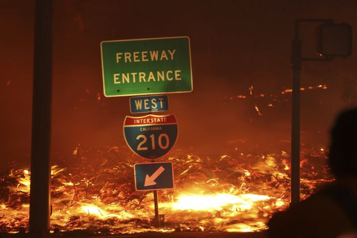
Setup AWS map services for wildfire assessments
Available until
Configure an AWS server hosting Esri map services containing imagery and wildfire data.
Aaron Kochman
%
COMPLETE
$397